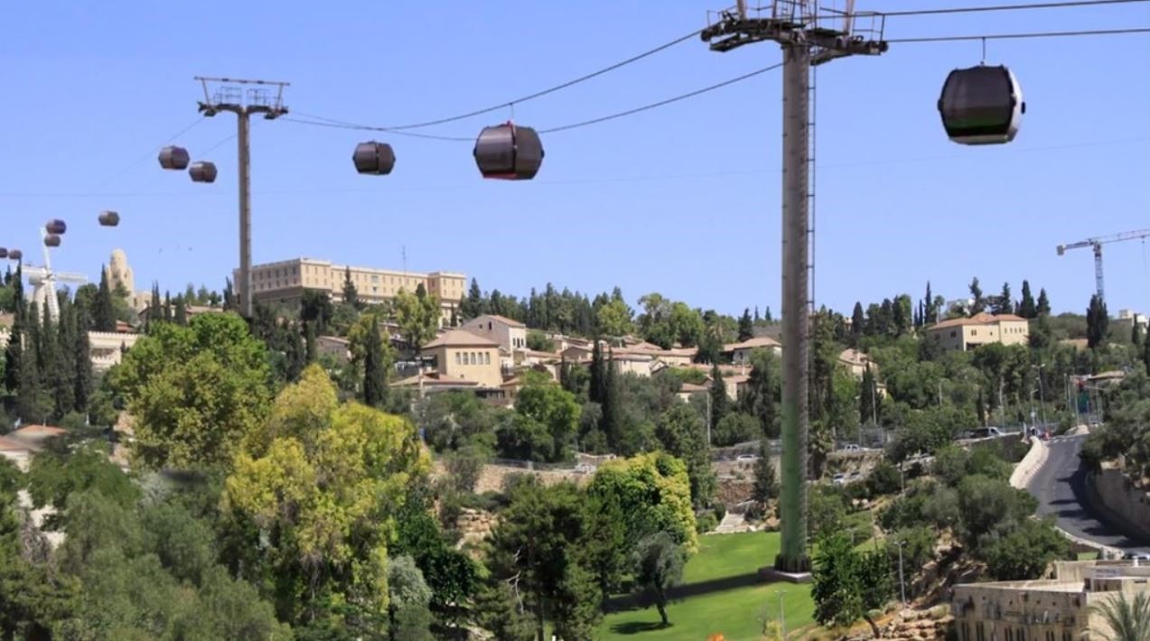
Kav Medida conducted surveys for detailed planning, and performed surveys for land expropriations (including the layers of complex expropriations) of the cable car construction project in Jerusalem.
The cable car project is designed to respond to the traffic needs of this important area, despite the topography and high density that characterize it.
This project constitutes a complementary solution to the mass transportation systems in the Old City, while utilizing aerial dimensions, and is intended to practically solve the existing problem of accessibility to the Old City area.
As part of the project, we took aerial photos and created a 3D model of the area.
This model makes it possible to embed the planning simulations on top of the existing conditions in the field, to help the planners, and to create precise cross-sections for the purpose of accompanying the expropriation team during the layer expropriation stages.


