Home
Services
Smart Cities
Urban Planning
Digital Twin
Environmental Modeling
Smart Scenario Simulations
Smart Data Analysis
Aerial Infrastructure 3D Planning
Roads, Railways and Traffic Planning & Management
Roads
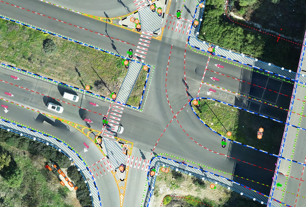
Traffic Planning
Traffic light
Rail Planning and Management
Bridge Inspection with Drone Vision
Drainage Network System
Transforming Real Estate
Advanced Mapping Technologies
Light and Shadow Simulations
Environmental Design
Aerial and Ground Virtual Tours
Construction Site Management
Environmental Design
Environmental Modeling
Environmental Impact Assessment
Environmental Data Mapping
Noise Pollution Analysis and Planning
Tree Surveys
Solar Installetions Design
Security & Emergency Planning
3D Mapping & Imaging
Photogrammetry & Aerial Imagery
Geodetic Technologies
Projects
Kav Medida’s Projects
Gabriel Lotan’s Projects
Clients
R&D
Blog
About
Team
Contact Us
עב
972-774518726
תפריט
Phone
Kav Medida’s Projects
דף הבית
Kav Medida’s Projects
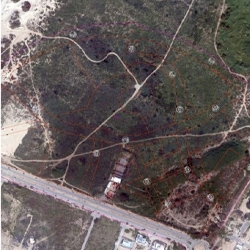
Survey of the Yamim Neighborhood in the City of Ashkelon- 2200 Units
Survey of the Akko Hakerem Neighborhood - 1200 Units
Survey of the High-Tech Complex – Ashkelon
Detailed Survey of the Gush Dan Light Rail Project
Survey of the Agamim Neighborhood in Ashkelon City - 2200 Units
Planning and Execution to Build 2300 Units - Naot Shamir Neighborhood
The Vacating Eilat Airport Complex - 1900 Units
Creating a City Plan for Mazkeret Batiah of 3400 Units - Including Registration with The Israel Lands Authority
The Jerusalem Cable Car Project - Cable Car to the Old City
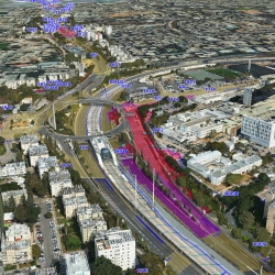
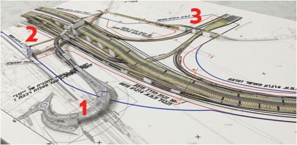
Highway 4, The Sharon Interchange
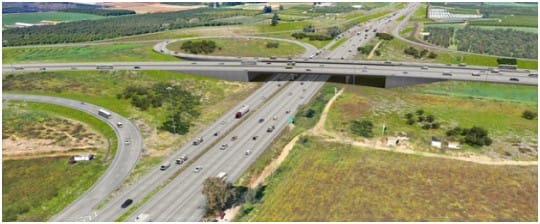
Highway 1 Chabad Interchange
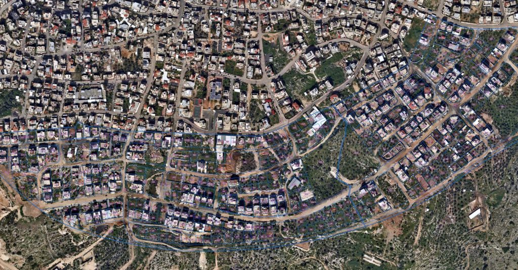
48/20 Cross-Country Road Mapping Project
עברית
|
English
Home
Services
Smart Cities
Urban Planning
Digital Twin
Environmental Modeling
Smart Scenario Simulations
Smart Data Analysis
Aerial Infrastructure 3D Planning
Roads, Railways and Traffic Planning & Management
Roads
Traffic Planning
Traffic light
Rail Planning and Management
Bridge Inspection with Drone Vision
Drainage Network System
Transforming Real Estate
Advanced Mapping Technologies
Light and Shadow Simulations
Environmental Design
Aerial and Ground Virtual Tours
Construction Site Management
Environmental Design
Environmental Modeling
Environmental Impact Assessment
Environmental Data Mapping
Noise Pollution Analysis and Planning
Tree Surveys
Solar Installetions Design
Security & Emergency Planning
3D Mapping & Imaging
Photogrammetry & Aerial Imagery
Geodetic Technologies
Projects
Kav Medida’s Projects
Gabriel Lotan’s Projects
Clients
R&D
Blog
About
Team
Contact Us
תפריט נגישות
תפריט ראשי
תפריט שפות
תוכן מרכזי
תוכן תחתון
צור קשר
נגישות
מקלדת קיצורי דרך
התאמה לעוורי צבעים
התאמה לכבדי ראיה (שחור)
התאמה לכבדי ראיה (לבן)
חוסם הבהובים
הצהרת נגישות
בטל נגישות