Project 48/20 - Mapping the Road Inventory and Traffic Elements for all of Israel's Routes
This is the largest and most complex road mapping project in Israel.
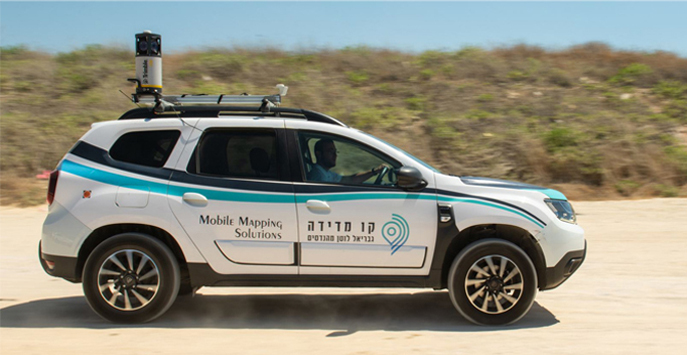
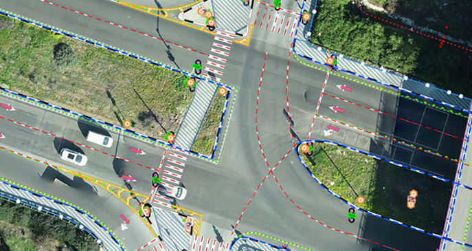
As part of this project, an unprecedented mapping of all roads in Israel will be conducted with up to a 200 km monthly range capacity. This thorough mapping includes the collection and analysis of detailed road information, including; signs, dimensions, railings, ditches, traffic lights, tunnels, bridges, and more.
Kav Medida has been selected as the road mapping provider for the northern portion of the State of Israel, for approximately 3,600 km of roadway. The company was awarded the contract at the end of a strict vetting process that included; a complex Proof of Capability (POC) test, technological methodology testing, interviews with the project team, and more.
Kav Medida’s project methodology includes the integration of several component systems including aerial photogrammetry, mobile mapping, and a ground-based control network.
Additionally, Kav Medida servers allow the vast visual information collected from the field to be accessible directly to the end user in high quality.
Go to the mobile mapping page and view the system


